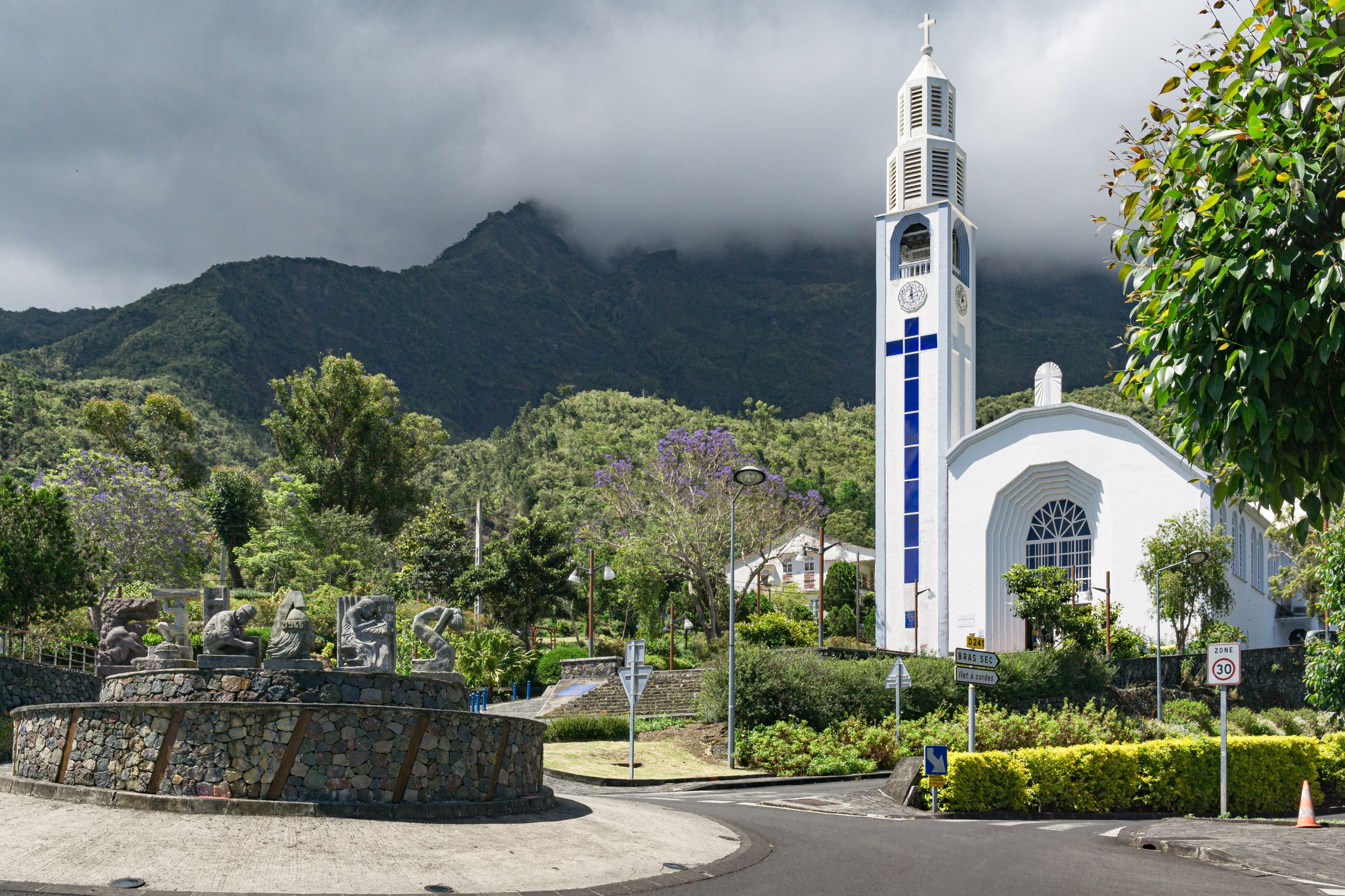
October 2026 delivered an unusually hot close to the dry season in Réunion, and the economics of that heat are already visible in the numbers. According to the monthly climate bulletin published by Météo-France La Réunion on 20 November 2026, the island averaged temperatures 1.32 degrees Celsius above the 1991-2020 reference period, while rainfall came in 10 percent above the island-wide average but was distributed so unevenly that some localities recorded near-total deficits. For operators across agriculture, tourism, water services and construction, the month offered a mixed risk picture: abundant water in the heights, scarcity on the coasts, and wind conditions that ran well above seasonal norms.
The full bulletin, published as the Bulletin climatique mensuel de la Réunion for October 2026, is available at https://meteofrance.re/fr/climat/bulletin-climatique-mensuel-de-la-reunion-octobre-2026.
Rainfall is the clearest illustration of the distribution problem. The island average of plus 10 percent conceals extremes that matter for anyone managing water-dependent assets. Among stations that are normally dry, Pierrefonds and Le Port recorded deficits of 90 percent, Cilaos, Palmiste-Rouge and Ligne-Paradis sat between 70 and 65 percent below normal, and Saint-Leu, Pont-Mathurin, Gillot and Pointe des Trois-Bassins were 55 to 50 percent down. At the other end of the ledger, Dos d’Âne recorded 210 percent above its usual total, while Colimaçons, Tan-Rouge and Le Tevelave came in 90 to 95 percent above. Among the normally wetter stations, Commerson posted a surplus of 120 percent and Plaine des Chicots 105 percent, while Grand-Galet fell 65 percent short. The wettest single day fell on the 27th, when Hauts de Sainte-Rose logged 174 mm, and the month closed with heavy totals on the 30th and 31st, including 160 mm at Takamaka on the final day.
Salazie-Village, with 169.3 mm, recorded its second-wettest October since 1996, behind the 233.6 mm set in 2001. Daily records also fell short of existing marks. The 70.5 mm measured at Commerson on the 31st was the second-wettest October day there since 1968, behind the 185.6 mm of 30 October 2013, and the 44.1 mm at Colimaçons on the 22nd ranked second since 1963, behind the 94.0 mm of 30 October 1982.
The temperature story is more uniformly costly. Minimum temperatures ran 1.32 degrees above normal against 0.77 for maxima, and the nights were exceptionally warm everywhere even without records being set: deviations of 1.11 degrees at Gillot, 1.15 at Pierrefonds and 1.71 at Plaine des Cafres. Two station records did fall on the 31st, with 24.3 degrees at Gillot, the warmest October night since records began there in 1953, and 19.6 degrees at Colimaçons, the warmest since 1964. Daytime heat peaked at 30.6 degrees at Gillot on the 29th, the second-hottest October day since 1953 and level with 26 October 2023, behind the 30.7 degrees of 27 October 2023. The north bore the brunt of daytime heat, with a 1.82-degree deviation at Gillot, while Pierrefonds stayed close to normal at 0.13 degrees and Plaine des Cafres at 0.35 degrees.
Sunshine was marginally below the 2001-2015 average at minus 4 percent, with local deviations never exceeding 10 percent. Only the northwest coast was in surplus, at plus 6 percent at Le Port, while the west, its heights and the volcano region ran 7 to 10 percent below, in line with their excess rain. At Gillot-Aéroport, daily sunshine averaged 5 hours 52 minutes against a usual 6 hours 44 minutes, and ten days saw fewer than four hours of sun.
Wind frequency is the figure most likely to concern insurers and infrastructure operators. Strong-wind days, defined as gusts of at least 58 km/h, were nearly twice as frequent as normal: eight days at Gillot-Aéroport against an average near four for 2001-2020, and ten days at Pierrefonds-Aéroport against five to six. The month’s strongest gust reached 94 km/h at Bellecombe-Jacob on the 31st, followed by 81 km/h at Gros Piton Sainte-Rose on the 30th and 76 km/h at Pierrefonds on the 16th. Météo-France notes that since 16 June 2026 all gust values use a new reference standard designed to better reflect the damage violent winds can cause.
Pressure closed the picture, with a monthly mean of 1019.8 hPa at Gillot-Aéroport, above the 2001-2020 normal of 1018.8 hPa, ranging from a low of 1013.8 hPa on the 29th to a high of 1024.1 hPa on the 15th. Taken together, the bulletin describes an interseason that was very hot, windier than usual and hydrologically split, conditions that translate directly into higher cooling and irrigation demand on the coasts and heavier drainage loads in the heights. Whether November’s rainfall rebalances that split, or deepens the coastal deficits, is the question water-dependent operators will be watching next.